
Introduction
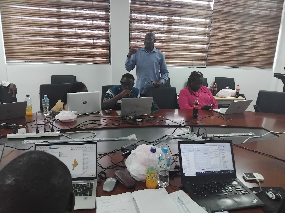
The NutriShed GIS Training Workshop was held from June 3rd to June 7th, 2024, at the Conference Room, School of Public Health, University of Ghana. The workshop aimed to equip participants with Geographic Information Systems (GIS) skills to enhance their understanding of food system data collected from the NutriShed project. The project focuses on mapping and analyzing the food supply chain in Sekondi-Takoradi and Asesewa, Ghana, particularly in relation to nutrient-rich foods such as green leafy vegetables, cowpea, meat, dairy, citrus fruits, poultry, and eggs.
The integration of GIS technology into the NutriShed project is crucial for identifying food production sources, storage facilities, market distribution patterns, and trade routes. The training aimed to enable stakeholders to use GIS for better decision-making and policy development in food systems research.
Objectives of the Workshop
The workshop had the following key objectives:
-
- Train participants in GIS software (QGIS) to create and manipulate spatial data.
- Enhance their ability to analyze and interpret GIS data related to the food supply chain.
- Equip them with skills to identify gaps and inefficiencies in the transportation and distribution of nutrient-rich foods.
- Support decision-making on food security and nutrition planning using GIS technology.
Pre-Workshop Preparations
Selection of Participants
Participants were selected through an application process where they filled out a Google form. A total of 20 participants were chosen based on:
-
- No prior GIS experience but an interest in learning.
- Academic background or professional work related to food systems and GIS.
- Motivation to apply GIS skills in their personal or professional work.
Training Materials and Resources
-
- Participants were provided with QGIS software, datasets, and training manuals before the workshop.
- The workshop included both virtual and in-person sessions to accommodate different learning styles.
- Facilitators prepared real-world datasets from the NutriShed project for practical training.
Workshop Overview
Day 1 & 2: Introduction to GIS & Data Processing
The first two days of the workshop focused on introducing participants to GIS applications in food systems research. The sessions covered the fundamentals of GIS, spatial data types, and georeferencing techniques. Participants were introduced to vector and raster data formats, as well as spatial analysis tools in QGIS. The facilitators also emphasized the importance of GIS in mapping food production, distribution, and accessibility.
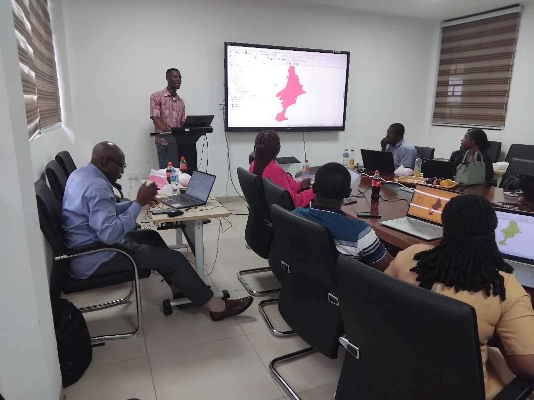
Day 3: Practical GIS Applications in Food Systems
On the third day, participants engaged in hands-on GIS exercises using real-world data from the NutriShed project. They imported food market data and applied spatial analysis techniques such as buffering, overlay analysis, and spatial joins to identify food supply chain patterns and trade routes. Additionally, they learned how to analyze accessibility to food markets and how GIS can be used to assess vulnerabilities in food distribution systems.
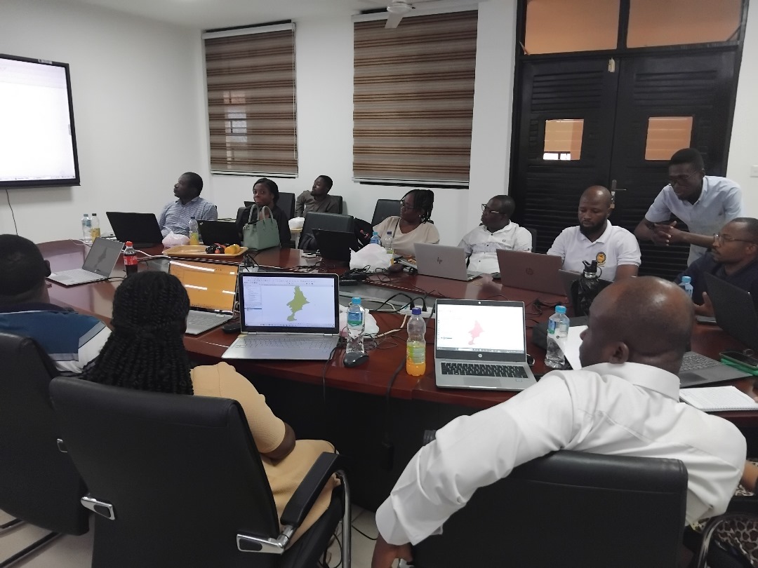
Day 4: Map Making and Visualization
The final day focused on cartographic design and map visualization. Participants practiced labeling, symbolizing data, and exporting GIS outputs for reports and presentations. They created maps illustrating food availability, transportation routes, and market accessibility, which could be used for policy recommendations and decision-making. The training also covered effective data representation techniques to ensure that GIS maps effectively communicate insights from food systems research.
Participant Feedback
Feedback was collected via surveys at the end of the workshop.
Positive Highlights:
-
- Participants appreciated the hands-on training approach.
- The facilitators were knowledgeable and supportive.
- Real-world applications of GIS to food systems were highly relevant.
Areas for Improvement:
-
- Some participants requested longer practical sessions.
- A few suggested including more case studies on food system resilience.
Workshop Outcomes
-
- Enhanced GIS Skills: Participants developed basic and intermediate GIS competencies.
- Real-World Application: Participants created maps analyzing food market accessibility and trade networks.
- Future Collaboration: Networks were established for ongoing GIS research in food security.
Acknowledgments:
- Organizers: NutriShed Project Team
- Facilitators: Dr. Afa, Ben Aikins, Michael
- Participants: All 20 attendees
- Supporters: University of Ghana, School of Public Health
EPI Coverage (Sample work done)
